Viac
Viac info:
aktualizovať mapu,
uprav v JOSM (pokročilé),
4043679,
stiahni GPX,
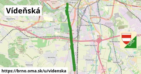
wikidata, oblast id: 438171, dlzka: 14107, oblast name: Brno, oblast asci: brno, obce:
Česko,
Jihovýchod,
Jihomoravský kraj,
okres Brno venkov,
okres Brno město,
Brno,
Modřice,
Horní Heršpice,
Štýřice,
Staré Brno, lon: 16.600071091931653, lat: 49.15648461573161, lit: yes, foot: no, lanes: 5, layer: 1, bridge: yes, oneway: yes, covered: yes, int ref: E 461, cycleway: pictogram, maxspeed: 50, shoulder: no, sidewalk: both, toll:hgv: no, maxheight: default, maxweight: 49, placement: middle of:2, bridge:ref: BM 024, smoothness: excellent, source:ref: rsd cr, turn:lanes: through|through|right, osm version: 21, parking:both: no, parking:left: no, source:width: ARCore, cycleway:both: no, cycleway:left: no, lane markings: no, lanes:forward: 2, maxspeed:type: CZ:zone30, osm changeset: 0, osm timestamp: 2025 03 11T16:00:02Z, parking:right: street side, sidewalk:both: separate, sidewalk:left: no, cycleway:right: shared lane, embedded rails: tram, lanes:backward: 3, sidewalk:right: separate, source:maxspeed: sign, no, pictogram, none|left|through;right, pictogram, none|left|through;right, yes|not right|no, no|not left|yes, tram|no, asphalt, paving stones, tram|no|no, asphalt, parallel, perpendicular, perpendicular,