Viac
Viac info:
aktualizovať mapu,
uprav v JOSM (pokročilé),
37361258,
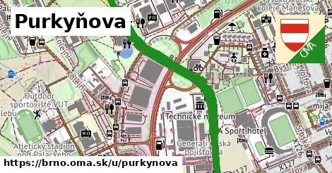
stiahni GPX, oblast id: 438171, dlzka: 3518, oblast name: Brno, oblast asci: brno, obce:
Česko,
Jihovýchod,
Jihomoravský kraj,
okres Brno město,
Brno,
Královo Pole,
Medlánky,
přírodní památka Medlánecké kopce, lon: 16.579440386712623, lat: 49.22895880178992, lit: yes, foot: no, lanes: 4, access: yes, oneway: yes, bicycle: yes, maxspeed: 50, shoulder: no, sidewalk: right, maxheight: default, maxweight: 6.5, smoothness: good, turn:lanes: left|through, osm version: 19, parking:both: no, parking:left: lane, source:width: ARCore, cycleway:both: no, cycleway:left: no, lane markings: no, maxspeed:type: CZ:urban, motor vehicle: yes, osm changeset: 0, osm timestamp: 2025 08 07T18:31:45Z, parking:right: street side, sidewalk:both: separate, sidewalk:left: no, transit:lanes: new on left, zone:maxspeed: CZ:30, cycleway:right: no, embedded rails: tram, sidewalk:right: separate, source:maxspeed: CZ:zone30, C 16 01, 2021 06 29, pictogram, tram|no, paving stones, tram|no, paving stones, parallel, parallel, parallel,