Viac
Viac info:
aktualizovať mapu,
uprav v JOSM (pokročilé),
4066234,
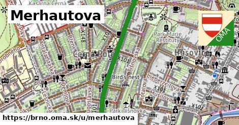
stiahni GPX, oblast id: 438171, dlzka: 2560, oblast name: Brno, oblast asci: brno, obce:
Česko,
Jihovýchod,
Jihomoravský kraj,
okres Brno město,
Brno, lon: 16.625212850213476, lat: 49.21164946822017, lit: yes, lanes: 2, layer: 1, bridge: yes, oneway: yes, maxspeed: 50, shoulder: no, sidewalk: both, maxweight: 6.5, check date: 2024 05 21, smoothness: excellent, osm version: 5, parking:both: yes, parking:left: yes, trolley wire: yes, cycleway:both: no, lanes:forward: 4, osm changeset: 0, osm timestamp: 2025 06 18T09:27:28Z, parking:right: yes, railway:lanes: tram|tram, sidewalk:both: separate, sidewalk:left: no, cycleway:right: no, embedded rails: tram, lanes:backward: 1, maxweight:note: no maxweight sign, sidewalk:right: separate, 30, no, yes|no, 50, parallel, parallel, yes|no, parallel, yes|no|no, none|left|through|right, 2021 12 26, none|through;left|right, no|yes, no|not left|yes, no|yes, no|no, tram|no, asphalt, asphalt, free, free, no|no, paving stones, free, sign, parallel, parallel, CZ:urban, parallel,